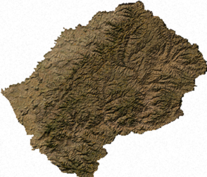
Файл:Lesotho sat.png
Lesotho_sat.png ((294 × 252 пиксель, файл күләме: 124 Кб, MIME-төр: image/png))
Файл тарихы
Файлдың күрһәтелгән ваҡытта ниндәй өлгөлә булғанын ҡарар өсөн баҫығыҙ: Дата/ваҡыт
| Дата/ваҡыт | Миниатюра | Үлсәмдәре | Ҡатнашыусы | Иҫкәрмә | |
|---|---|---|---|---|---|
| ағымдағы | 02:28, 14 июль 2006 |  | 294 × 252 (124 Кб) | Unquietwiki | ECW to TIFF to PNG (compression level 9). {{PD-MapLibrary}} |
Файл ҡулланыу
Был файлды киләһе бит ҡуллана:
Файлды глобаль ҡулланыу
Был файл түбәндәге википроекттарҙа ҡулланыла:
- ar.wikipedia.org проектында ҡулланыу
- ast.wikipedia.org проектында ҡулланыу
- de.wikipedia.org проектында ҡулланыу
- en.wikipedia.org проектында ҡулланыу
- es.wikipedia.org проектында ҡулланыу
- ka.wikipedia.org проектында ҡулланыу
- mk.wikipedia.org проектында ҡулланыу
- ru.wikipedia.org проектында ҡулланыу
- vi.wikipedia.org проектында ҡулланыу


